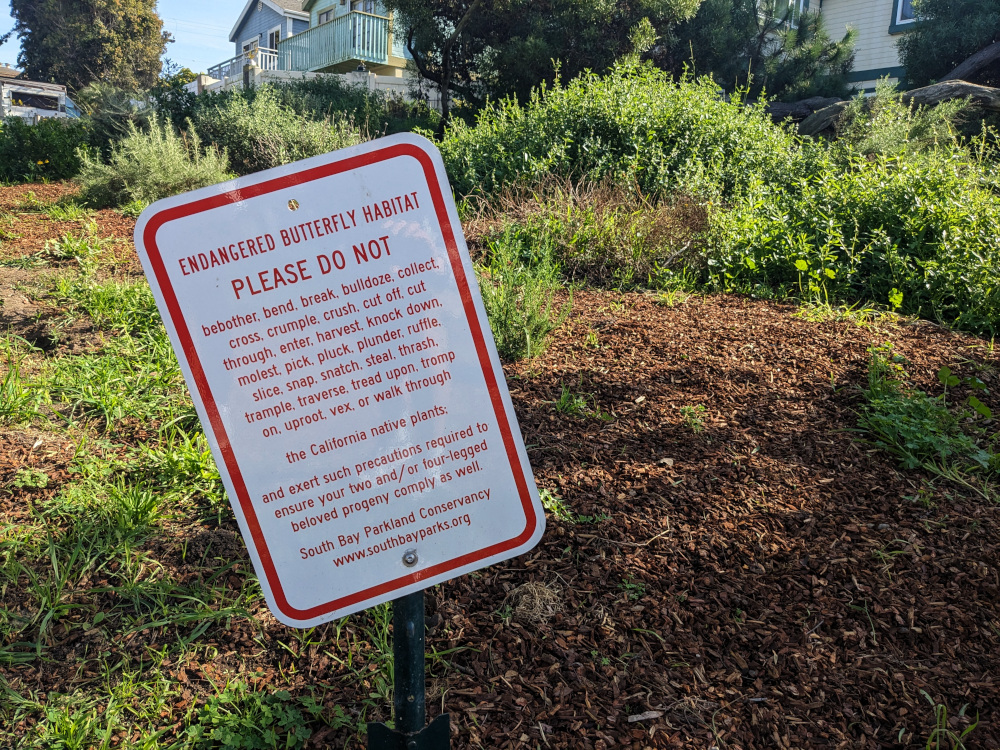
Along the Hermosa Beach greenbelt. The South Bay Parkland Conservancy has been restoring parts of the habitat near the south end of the trail to support monarchs and other endangered butterflies.
Along the Hermosa Beach greenbelt. The South Bay Parkland Conservancy has been restoring parts of the habitat near the south end of the trail to support monarchs and other endangered butterflies.
This sea otter likes long swims along the coast, kelp forests…and stealing surfboards. (LA Times)
“At first, we were like, ‘Look how cute?’ But then it bit down on the board and chewed off a piece, and we were like. ‘What’s going on?’”
We know trees can reduce the urban heat island effect. A Nature Conservancy project is combining data on current tree coverage, heat, health, income, energy sources and more to determine where planting new trees would most help the communities currently most affected by the problem. (Note: The article’s in the context of Google’s role in the data analysis & visualization.)
I looked at the data from my local area, and it not only prioritized the areas I know are lower-income with fewer trees, it prioritized where people actually live, too. There are some areas that have very low tree coverage but are also rated very low priority…because they’re mall parking lots, light industry, heavy industry, office parks, etc.
~95% of lizards I’ve spotted since joining iNaturalist have been Western Fence Lizards. (Occasionally they’ve even been on fences.)
Once I found one that was identified as a Great Basin Fence Lizard!
When I looked it up, it turned out to be a subspecies of Western Fence Lizards.
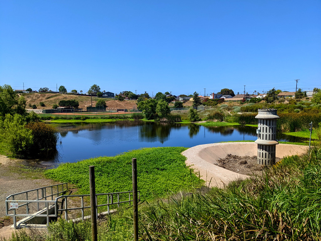
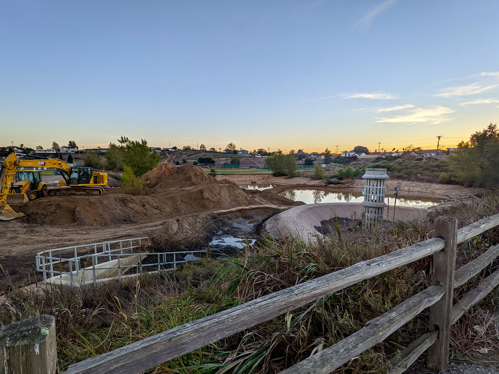
The flood control basin has been partly restored for stormwater infiltration and as habitat for native plants and migrating waterfowl, bounded by a city park on one side, baseball fields on the other, and hills all around. The city is currently expanding the basin while the water level is low.